A hut bagging bucket list
Bucket lists seem to be all the rage, people have lists of the places they want to visit, beers they want to sup, concerts they would like to see. Whatever your hobby there is sure to be a aspirational bucket list and the outdoors is no exception.Personally, I have a bucket list of huts I would like to visit, or "bag" as we say in New Zealand.
What is hut bagging?
 |
| Minchin Bivouac, Arthur's Pass NP (2 bunks) |
 |
| Magdalen Hut, Mt Sumner FP (6 Bunks)...most consecutive nights stayed at a hut (3 nights...) |
They have a varied background: DOC huts, ex New Zealand Forestry Service huts, miner's huts, research stations, climbing/skiing/tramping club shelters or ex farm accommodation.
 |
| Coldwater Hut, Nelson Lakes NP (12 bunks) |
These are almost universally managed by the Department of Conservation or DOC as we call it.
 |
| Luxmore Lodge on the Kepler Track (54 bunks) |
Because of this profusion of huts we have a peculiar outdoor hobby in New Zealand of visiting or "bagging" as many of them as possible. My current "bag" is 236 huts visited, there are many trampers who have visited over 400 huts and there several people close to reaching all 970+ huts.
A selection from my personal hut bagging bucket list
Here is a list of 12 interesting huts I would like to visit....and bag!
NB: All photos are from the DOC website unless free commons or linked to the source...
NB: All photos are from the DOC website unless free commons or linked to the source...
Field Hut
Ah, good old Field Hut.
Field is one of the first purpose built tramping huts in New Zealand and the oldest original hut in the Tararua Ranges. Field Hut was built by the the Tararua Tamping Club (TTC) in 1924 to encourage more people to visit the mountain range where tramping began in this country.
Field is one of the first purpose built tramping huts in New Zealand and the oldest original hut in the Tararua Ranges. Field Hut was built by the the Tararua Tamping Club (TTC) in 1924 to encourage more people to visit the mountain range where tramping began in this country.
 |
| It may be old but it is still serviceable, Field Hut, Tararua Range |
Field Hut is an integral part of the classic Southern Crossing of the Tararua Range from Otaki to the Wairarapa Plains. Although a lot of the outside of the hut has been replaced over time it still resides in its original location.
A true classic!
(I am embarrassed to say that in more than 20 years of tramping I have never ventured into the Tararua Ranges. Shameful really....in my defence I have never lived in Wellington)
Don't let that fool you, this range can be dangerous. It is mountainous, rugged and because it sits beside Cook Strait powerful storm fronts can blow in at any time of the year. The Tararua's have more memorial huts named after trampers who died tramping locally than any other place in New Zealand.
Bear this in mind and give it the respect it deserves!
A note on tramping in the Tararua Range:
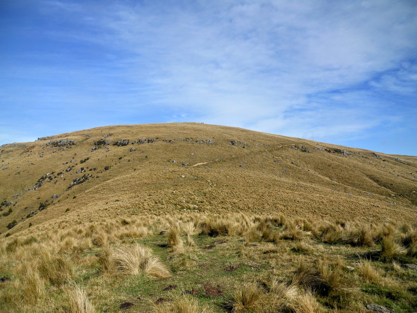
This range of mountains is clearly visible from parts of Wellington, our capital and third largest city. |
| November 2014, southerly front slams Wellington and the distant Tararua Ranges |
Don't let that fool you, this range can be dangerous. It is mountainous, rugged and because it sits beside Cook Strait powerful storm fronts can blow in at any time of the year. The Tararua's have more memorial huts named after trampers who died tramping locally than any other place in New Zealand.
Bear this in mind and give it the respect it deserves!
Ivory Lake Hut
Ivory Lake Hut is Mecca for hut baggers, it is one of the most difficult huts to bag in New Zealand. If you have reached it you have already been tramping for 4 solid days up Westland's Waitaha Valley, arguably one of the most rugged locations in the country.

The hut is an old glacial research station, the glacier is almost gone but there is a beautiful lake remaining. Probably less than 300 people have ever visited the hut in its 50 year history.
This is absolutely NOT a hut for a solo tramper to visit: you need tramping companions, superb fitness, great gear and a LOT of alpine/backcountry experience. But I can dream......
Welcome Flat Hut
Beautiful Westland valley location, fantastic two story hut, 100 meters from some of the best natural hot springs in New Zealand....whats not to like?
 |
| Welcome Flat Hut, Westland Tai Poutini NP |
It takes 5 hours to reach the hut from the car park off State Highway 6, and requires you to cross a number of un bridged side stream enroute.
If you are completing the alpine crossing of the Southern Alps via Copland Pass this is your final nights accommodation.
NB: The other boot drops.....this hut is on the international tourist circuit, just like the Great Walks, Lake Angelus Hut and the Tongariro Crossing...CROWDS and CROWDS and god-damn CROWDS of people is the result! It is now on the DOC hut booking system and in the summer this IS absolutely a hut you will get chucked out of if you don't have a booking.
Be warned!
 |
| The Welcome Flat Hot Pools |
If you are completing the alpine crossing of the Southern Alps via Copland Pass this is your final nights accommodation.
NB: The other boot drops.....this hut is on the international tourist circuit, just like the Great Walks, Lake Angelus Hut and the Tongariro Crossing...CROWDS and CROWDS and god-damn CROWDS of people is the result! It is now on the DOC hut booking system and in the summer this IS absolutely a hut you will get chucked out of if you don't have a booking.
Be warned!
Blue Lake Hut
Blue Lake Hut is just off the classic Travers-Sabine Circuit in Nelson Lakes NP, it is one of the huts you must pass on the way to completing the Te Araroa Trail route over Waiau Pass.
 |
| Blue Lake Hut, Nelson Lake NP |
The hut is lovely and well located but what you are here for is to see the Blue Lake. Blue Lake has the clearest water in the world, it was measured in 2014 and has underwater visibility of over 80 meters meaning it is clearer than distilled water.
 |
| The world famous Blue Lake, Nelson Lakes NP |
I have been over Waiau Pass before but I have never visited the hut/lake as we hurried past on the way to points west. I'm planning to walk this section of Te Araroa in the summer of 2017-18.
Colenso Hut
Colenso Hut is in the North Island, it sits on the strenuous Ruahine Corner to Rangitane Road tramp in Ruahine Forest Park. Most visitors will fly in by helicopter and then spend the next 4-5 days following the route out to civilisation. The track is mostly high ridge travel inter spaced with river bed walking making fine weather an imperative.
 |
| Colenso Hut, Ruahine FP |
I have tramped in the North Island before but never in the Ruahine Range.
Fenella Hut
Fenella Hut is in the beautiful Cobb Valley, Kahurangi National Park in the north-west corner of the South Island. The hut is named after Fenella Druce who was one of 4 people killed when the Three Johns Hut in Mt Cook was blown off its ridge in a massive storm in 1977. Her family and friends provided most of the funds for this hut.
 |
| Fenella Hut, Cobb Valley, Kahurangi NP |
The hut is not particularly difficult to reach it is just a long way from Christchurch at the end of a torturous gravel road from Upper Takaka. I will eventually visit the Cobb Valley area as there are several huts/routes/tracks/lakes in the area I would like to visit. Its going to be a big mission...
I did a trip to the Cobb Valley in October 2020 and visited Fenella Hut on that trip.
Roaring Stag Hut
Look at that gorgeous hunk of a hut...it has it all. Nice sunny location, right next to a river (but far enough away so that it won't flood), relatively easy access, lots of trees around it....perfection in a hut thy name is Roaring Stag.
 |
| Roaring Stag Hut II, Tararua FP |
The hut is in the less visited North Eastern part of Tararua Forest Park, entailing access from the Wairarapa Plains.
Park-Morpeth Hut
Park-Morpeth Hut is owned by the Canterbury Mountaineering Club (CMC) and is another memorial hut. This hut was built in 1931 in memory of James Park and John Morpeth who lost their lives, drowned in a nearby stream when attempting a difficult river crossing during a storm.
The classic "New Zealand Death" in action...
The classic "New Zealand Death" in action...
 |
| Climbing to Harman Pass via the Taipoiti River |
Materials to build this hut were carried in by pack horse from Mt Algidus Station by the CMC who then built the hut over several weekends.
DOC hut passes cannot be used at this hut, instead:
DOC hut passes cannot be used at this hut, instead:
Hut fees can be paid by direct credit to the CMC account 03 1592 0103242 00, putting your name and the hut name in the payment details. Alternatively send a cheque to the Club Treasurer, PO Box 2415, Christchurch with a note of your name and the hut you stayed in. (from the CMC website)
 |
| Park-Morpeth Hut Wilbourforce River Valley |
A visit to Park Morpeth is part of the classic Three Passes Tramp from Arthurs Pass NP to the West Coast via Harman/Whitehorn/Browning Pass. This is not a route for amateurs as it requires crossing three Alpine passes as well as over 100 river crossings!
Mt Brown Hut
This started as an old hut relocated from the Lower Arahura Valley, but as it required a lot of new material and wind strengthening it is basically a new hut. Construction was carried out by the Mt Brown Community Project Team and involved significant unpaid volunteer work. Many of the materials were given as donations from businesses in the Hokitika area. It was one of the first joint public/private outdoor projects to be completed and showed that this model could be made to work in New Zealand.
 |
| Mt Brown Hut, Lake Kaniere, West Coast |
It is a bit of steep hike to get to the hut site but the views are supposed to be spectacular from there.
Larrikin Creek Hut (Thousand Acres Plateau)
Larrikin Creek Hut sits on the 1000 Acres Plateau just to the north of Murchison on the West Coast of the South Island. Both the 1000 and the 100 acre plateau are ancient pene-plains thrust up through geologic action. Stunning tussock grasslands, limestone caves, sharp limestone peaks are all features of the area.
 |
| Larrikin Creek Hut, Kahurangi NP |
A good itinerary for a visit to the area is:
- Day 1: Walk into Lake Matiri Hut (half day).
- Day 2: Climb onto the plateau, pass Poor Pete's Hut, and continue on to Larrikin Creek Hut.
- Day 3: Visit the Needle ( a local peak) and Hundred Acres Plateau, and walk back to Poor Pete's Hut, camp in vacinity of the hut
- Day 4: Descend off the plateau down to Lake Matiri Hut and out.
This trip is very firmly on my to do list and while not easy can be achieved by a solo tramper.
 |
| The view from The Needle of the Haystack and 1000 Acre Plateau |
Soper Shelter Tent camp
The majority of our back country huts were built to facilitate deer culling in the 1960-70's. Most were of solid construction, wood or metal but a small number were temporary tent-huts made of canvas. Using canvas meant a cullers hut could be raised cheaply and quickly by two men over a couple of days and often in locations where a solid hut was impractical.
Soper Shelter in Kahurangi National Park is a new built example (2015) of this iconic design.
Soper Shelter in Kahurangi National Park is a new built example (2015) of this iconic design.
 |
| Soper Tent shelter |
The framing is made from local timber while the walls and roof have an inner and outer canvas skin.
This is one of only two ( the other is Cobb Tent Camp in the Cobb Valley) left in the country, most of the others have just rotted away. The hut was built jointly by Golden Bay Alpine and Tramping Club and DOC staff over five days in 2015.
If you are interested there is a nice article about the build in the July 2016 FMC Bulletin if you can find a copy. There is an on-line report about the build on the FMC website
Martins Bay Hut
As with many of the other huts on this list, the hut itself is not the focus, it is the location that matters. If you are staying the night in Martins Bay Hut you have just finished or are about to start the Hollyford Track.
The Hollyford Track should be on the bucket list of all serious New Zealand trampers. This Fiordland track is a lot more rugged than the Great Walks in the same area. Because it is at sea level it can be walked for most of the year, not just in the busy summer season.
 |
| Martins Bay Hut |
The hut sits on the mouth of Lake McKerrow with views out to the wild Tasman Sea. It is at least a 4 day journey from here to civilisation (if you want to call it that) at the Lower Hollyford road end.
 |
| Interior of Martins Bay hut |
Obviously this list is far from exhaustive, but it gives you a taste of the kind of huts I have on my bucket list!
 |
| My favourite DOC hut, Packhorse Hut, Banks Peninsula (10 bunks), 12 visits so far... |
If you are interested in hut bagging you should check out the Hut Bagger NZ site, register and bag some huts.