Banks Peninsula tramping...to Mt Herbert from Orton Bradley
I went for a tramp up Mt Herbert over the
weekend, originally I was going to start at Kaituna Valley, but decided instead
to try the Orton Bradley - Mt Herbert track.
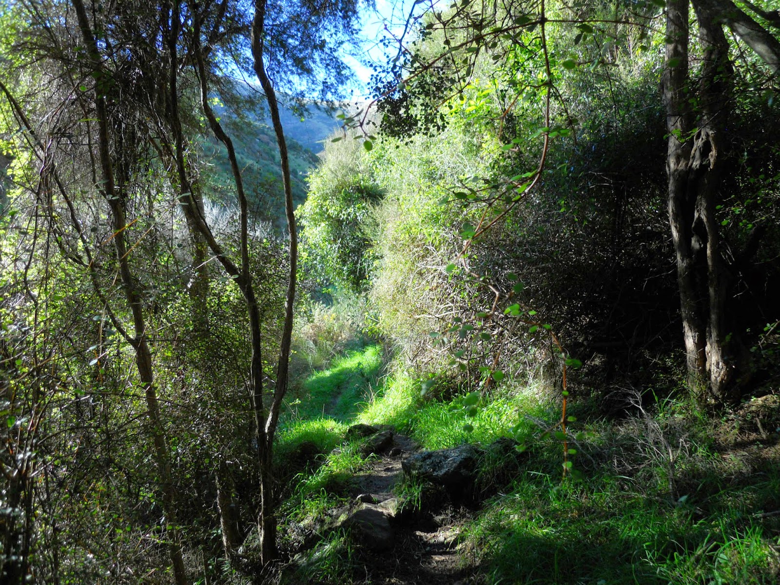
 |
| In the Rewod Forest at Orton Bradley Park |
The track starts at the Orton
Bradley Estate, which is located on the southern side of Lytelton Harbour.
The estate was one of the original farms on
Banks Peninsula, it is now owned by a charitable trust. It is an excellent
location for a family picnic as it has a number of tracks, forested areas,
playgrounds and a working farm for the public to enjoy.
 |
| Topo map of the Mt Herbert track |
Starting at the Orton Bradley Park
The tracks begin at the end of the Orton - Bradley Estate access road, there are track junctions from this point leading to Mt Herbert, Gebbies Pass as well as short local walking tracks. There is a map with information about the tracks on a big rock near where I parked my car. |
| Orton Bradley Park to Mt Herbert track |
Here are the toilets and track entrances at the start of this tramp, the tracks are well signposted.
 |
| Orton Bradley Park to Mt Herbert track |
The track starts out through shelter belts and farm land, eventually it becomes more rugged.
 |
| Orton Bradley Park to Mt Herbert track |
There is a nice stream running next to the track for most of the way up valley, I was surprised by how much water there was in it, it was at least knee deep for most of its length. Don't drink it: there are cattle in the side valley's.
 |
| Orton Bradley Park to Mt Herbert track |
As you can see there are a number of tracks to visit, I am keen to try out some of the others as time goes on.
 |
| Track direction board at Orton Bradley Estate |
You pass this large rock about 30 minutes up valley, at a guess I would say that a much larger river in the past eroded the rock into the shape you see now.
 |
| Orton Bradley Park to Mt Herbert track |
 |
| Orton Bradley Park to Mt Herbert track |
The photos above and below show a gum plantation just past the rock, it was very pleasant walking under the trees as it was a hot sunny day. There is a adventure rope area in this plantation, you need to cross the river to reach it.
 |
| Orton Bradley Park to Mt Herbert track |
The track alternates between forest and open areas for the first hour up valley, this is a typical example.
 |
| Orton Bradley Park to Mt Herbert track |
 |
| View down valley to Quail Island, Orton Bradley Estate |
You eventually start to climb, mostly on old farm tracks, from this point onwards there is very little cover so take a wide brimmed hat to protect you from the sun.
 |
| On the Orton Bradley Park to Mt Herbert track |
 |
| Orton Bradley Park to Mt Herbert track |
About an hour up valley you reach the end of the estate, the land from this point onward is either DOC or belongs to the farm in the Kaituna valley.
 |
| Orton Bradley Park to Mt Herbert track |
The track gradually winds up the valley, for the most part crossing scrubby paddocks, but there are also significant areas of bush along the bottom of gullies etc. There are a lot of natives birds in this area I saw Tui, Bellbird, Wood Pigeon and Fantails.
 |
| Orton Bradley Park to Mt Herbert track |
As you can see some places on the track are steep, and involve easy rock scrambling, the track was a lot tougher than I expected.
 |
| Orton Bradley Park to Mt Herbert track |
Here is the view after 2 hours walking, this is 2/3rd of the way to the top but even from here there are great views.
 |
| Orton Bradley Park to Mt Herbert track |
This waterfall was going over 30-40 metre bluffs, for such a dry open area the amount of water is a real surprise. The terminus of these falls are accessed from the Waterfall track.
 |
| Waterfall near Orton Bradley Park to Mt Herbert track |
The next four photos are views from the spot where I stopped for 10 minutes, this would be 2.5 hours in and about 3/4 of the way to the ridge top. Look at that view of Lyttleton harbour, magic!
 |
| Lytellton from the Orton Bradley Park to Mt Herbert track |
 |
| Quail Island from the hills overlooking Orton Bradley |
 |
| Orton Bradley Park to Mt Herbert track |
 |
| Mt Bradley massif from the track to Orton Bradley Estate |
The last section of the track before reaching the ridge top is this series of zigzags, the track from Packhorse Hut and Gebbies pass enters from the right side of the photo. The ridge line shelter is in the centre left of this picture.
 |
| Zig-zag on the Orton Bradley Park to Mt Herbert track |
 |
| Orton Bradley Park to Mt Herbert track |
 |
| Orton Bradley Park to Mt Herbert track |
Below is the Orton Bradley - Packhorse Hut track junctions, only 20 more minutes to the top!
That is the Mt Bradley plateau in the distance, I walked up to the top in November 2013, see my previous post about the trip.
 |
| Orton Bradley Park to Mt Herbert track |
I reached the day shelter after 3 hours which isn't bad going really, this was as far as I went. The Orton Bradley park closes at 5pm and it was already 2 pm by the time I got here, it would be 1.5 kms and another 30-60 minutes to reach the summit of Mt Herbert.
I was more than happy to have a rest, eat my lunch and enjoy the view. There was no one about! I would have thought there would be a few people out on such a beautiful day, but they obviously went elsewhere.
I was more than happy to have a rest, eat my lunch and enjoy the view. There was no one about! I would have thought there would be a few people out on such a beautiful day, but they obviously went elsewhere.
 |
| Mt Herbert shelter |
Here are a couple of views from inside the shelter, at a pinch you could stay here overnight, but it would be cold and windy. Look at that view!
 |
| Canterbury and the Port hills from inside Mt Herbert shelter |
 |
| Lytellton and Quail Island from near the Mt Herbert Shelter |
 |
| Summit of Mt Herbert from the shelter |
I stayed for about half an hour and then set off back down the same track I had followed to the top. It is a lot faster going downhill than going up.
 |
| View from Mt Herbert shelter |
I stopped an hour back down valley and took this long view of the track.
It cuts up the centre of the valley and then sidles out to the left hand side through bush and scrub. It then passes through the open grass area just down from the ridge in the centre top and then sidles out to the right. You climb the zigzag and emerge at the shelter, which is near the hillock at one o'clock.
The actual summit of Mt Herbert is the high point on the left.
 |
| View of Mt Herbert from the Orton Bradley - Mt Herbert track |
A view down valley from the same spot, the track largely follows the bottom of the valley with the river to your right for most of the way.
 |
| The Port Hills from the Orton Bradley - Mt Herbert track |
Below is Quail Island, its makes a great day trip, you can only get to the island by boat, it is separated from the peninsula by an inlet.
 |
| Quail Island from Orton Bradley - Mt Herbert track |
Eventually I arrived back at the car-park, and took some shots to show you how much space there is for camping, picnics etc. The tracks start on the far side of the farm gates next to my car.
 |
| Track end, carpark at Orton BradleyEstate |
 |
| View of the picnic area at Orton Bradley Estate |
 |
| The red beast at the carpark at Orton Bradley Estate |
 |
| Jon Moake, car-park at Orton Bradley park |
A couple of shots of the entrance to the park, it is impossible to miss, you head towards Diamond Harbour from Christchurch, travelling via Gebbies pass or over Cashmere and around the bays.
 |
| Orton Bradley on the Christchurch-Diamond Harbour road |
 |
| Orton Bradley Park entrance |
Another great trip, I am slowly working through my list of classic tramps on Banks Peninsula. I didn't make it to the summit but I was more than happy to reach the shelter and still have plenty of time to get back to the car.
I recommend you take a lot of water with you as there are no clean water sources anywhere along the track. Enjoy!
I recommend you take a lot of water with you as there are no clean water sources anywhere along the track. Enjoy!
Access: Follow the Christchurch-Diamond Harbour Road from Dyers/Gebbies Pass, turn off at the obvious entrance before reaching Diamond Harbour
Track Times: 6-7 hours return to Mt Herbert, 5 hours one way to Packhorse Hut
Hut Details: Mt Herbert Shelter: shelter only, no bunks, no fire, water tank and toilets; Packhorse Hut: serviced, 12 bunks, wood burner, water tank, wood shed, toilets; Orton Bradley Estate Campsite: open December-January each year only, cooking shelter and ablutions block, water, toilets
Miscellaneous: Seasonal track closures, Packhorse Hut is on the DOC Hut booking system, must be booked for overnight visit
Miscellaneous: Seasonal track closures, Packhorse Hut is on the DOC Hut booking system, must be booked for overnight visit
